SkyGuard
A community-powered aerial threat reporting platform with a live map, shelter locations and Telegram alerts. Built by a team at Hack4Defence.
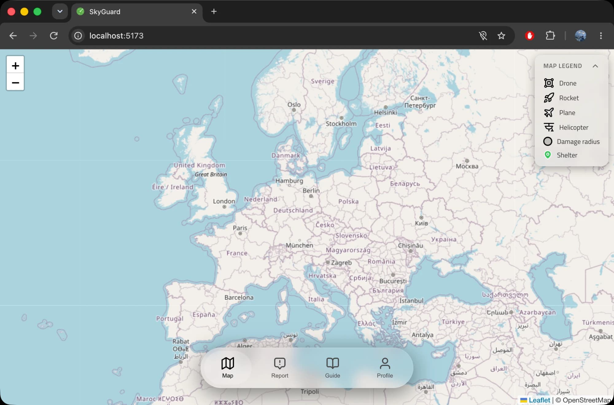
People report possible aerial threats from their current location, see reports and shelters on a live map, and can get Telegram messages about reports near them.
It is an informational community tool. It doesn't verify threats independently and never replaces official warnings.
Reports are grouped
Nearby reports of the same type can be aggregated, which cuts duplicate map entries and combines reports from different users.
Confidence comes from people
An aggregated report's probability level depends on its report count and its contributors' trust scores. Administrators confirm or reject reports, and that result updates the ratings.
Alerts follow location
Users who link Telegram are notified about reported threats within 30 km of their last known location. The radius is a setting, not a prediction of a threat's range.